
Warren County ZIP Postal Coverage
Warren County maintains a post-office list that names 16 postal localities and serving ZIPs. The table preserves that list as an access aid. It does not claim that all delivery addresses using a named ZIP are inside Warren County, or that a postal city label selects a municipality, township, court, school district, or taxing jurisdiction. Confirm a specific delivery address through USPS, then confirm the parcel through the Auditor or GIS record.
| ZIP | County-listed area | Post office or postal locality | County geography note |
|---|---|---|---|
| 45107 | Blanchester | Blanchester | Postal area may serve more than one county or locality; verify the address. |
| 45005 | Franklin | Franklin | Warren County postal serving location. |
| 45122 | Goshen | Goshen | County-listed serving location; city name alone does not establish county. |
| 45032 | Harveysburg | Harveysburg | Village and postal locality. |
| 45034 | Kings Mills | Kings Mills | Postal locality in the county service pattern. |
| 45036 | Lebanon | Lebanon | County-seat postal locality. |
| 45039 | Maineville | Maineville | Village and postal locality. |
| 45040 | Mason | Mason | City postal locality; confirm the parcel jurisdiction. |
| 45050 | Monroe | Monroe | Cross-county city context requires parcel verification. |
| 45152 | Morrow | Morrow | Village and postal locality. |
| 45158 | Newtonsville | Newtonsville | County-listed serving location; verify the exact address. |
| 45054 | Oregonia | Oregonia | Postal locality. |
| 45162 | Pleasant Plain | Pleasant Plain | Postal locality. |
| 45065 | South Lebanon | South Lebanon | Village and postal locality. |
| 45066 | Springboro | Springboro | City postal locality; city and county geography can differ. |
| 45068 | Waynesville | Waynesville | Village and postal locality. |
Nearby delivery patterns can also use Clarksville, Loveland, Middletown, or Miamisburg as postal cities. They are not silently added to the county list because a broad online ZIP map overlaps them. County emergency-planning material recognizes cross-county context for Middletown and Monroe, with part of the Loveland area in Warren County. Postal coverage still does not settle those municipal facts.
The Warren County post-office page supplies the county-maintained postal locality list used above.
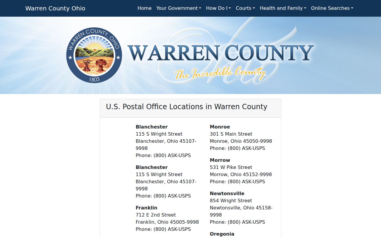
It is most useful for identifying a listed postal locality before address-level checks begin.
Checking Warren County ZIP Codes
A postal answer and a parcel answer should be collected separately. USPS is the source for the formatted delivery address and mail ZIP. The Warren County Auditor Property Search is the source for the county parcel result, including its situs address, parcel number, municipality, township, and related map information. The Recorder becomes relevant only after a parcel has been identified and a recorded document question remains.
- Enter the full delivery address, including unit, directional prefix, and street suffix, in the USPS lookup.
- Record the USPS-formatted postal address and returned ZIP without substituting a nearby locality.
- Search the Auditor by street number and street name, then confirm the returned situs matches the address in question.
- Keep the parcel number, municipality, and township as separate fields from the postal city and ZIP.
- If the records conflict, retain each source and date, then ask the relevant local addressing or engineering office to resolve a disputed format.
That sequence gives a reliable point for a ZIP-based question without equating delivery geography with the place where county records assign a parcel. Once a verified ZIP has narrowed an address question to a particular road, the Warren County street directory explains the fuller address-to-parcel path.
The USPS address lookup is the address-level delivery verification step.
Use the returned mailing result alongside, rather than in place of, the county parcel record.
Warren County ZIP Auditor Filters
The Auditor’s Advanced Search includes a ZIP Code criterion alongside owner name, parcel number, municipality, township, street name, subdivision, sale information, and assessment fields. That makes ZIP a useful narrowing term after the full delivery address is known. It does not turn the assessment system into a complete delivery-route directory or establish who physically occupies a parcel.
| Auditor search field | Type | Required | Warren County use and limit |
|---|---|---|---|
| Street Number | Text | No | Refines an address query. |
| Street Name | Text | Yes in address route | Matches a situs-address search route. |
| Parcel ID | Text | Yes in parcel route | Retrieves an exact county parcel. |
| Subdivision or Lot | Text | Yes in that route | Locates platted land. |
| Advanced ZIP Code | Criteria selection or text | No | Narrows a property question, not a residence result. |
| Advanced Street Name | Criteria selection or text | No | Can be paired with geography fields for a focused parcel question. |
Results should be read as assessment and property-record context. Confirm the situs address, then capture the parcel number, legal description, tax year or processing date, owner label, municipality, township, and map link. An assessed owner or a mailing field is not proof of current physical presence. The research also notes that about 91,400 parcels are maintained in the Auditor’s real-estate system, which is why a parcel-first approach is more precise than a ZIP-only assumption.
The Auditor real-estate information describes the property-record context behind the search options.
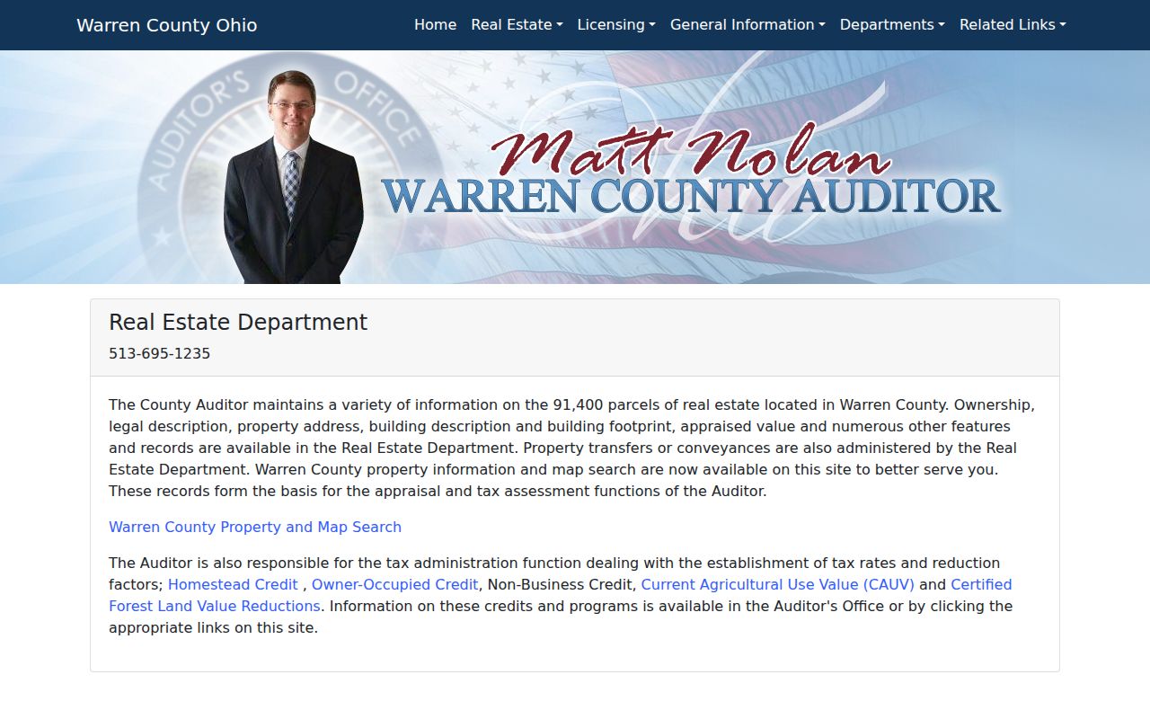
The county system connects an address to parcel information, but its displayed fields need the same careful labels used by the office.
Warren County ZIP Records and MAIL_ZIP
One local quirk matters when reading parcel data: the published GIS parcel schema includes mailing-address fields and MAIL_ZIP separately from parcel geography. A mailing ZIP is an administrative contact attribute. It may be useful for understanding what the system displays, but it is not necessarily the parcel’s situs, the USPS delivery ZIP, the township, or the municipality.
Keep the labels as the source provides them. A clear note can say that USPS supplies a delivery ZIP, the Auditor supplies a situs address and county parcel context, and GIS may display a mailing ZIP. For Warren County, that field-by-field approach prevents a common mismatch from becoming a false statement about where a property is located.
Note: Postal city, mailing address, owner label, parcel situs, township, and municipality are separate record relationships that can differ on one address.
Warren County ZIP Jurisdiction Fields
Warren County has four cities, nine villages, and eleven townships. That local structure explains why an address should be fielded rather than summarized by one place name. A postal city is mail shorthand. A township and municipality come from the parcel or GIS record. County planning material also describes municipal areas that cross county lines, so office selection should follow verified jurisdiction rather than a ZIP label.
| USPS delivery address | The formatted address and ZIP used for mail delivery. |
|---|---|
| Postal city | The city name in the delivery address, which does not decide municipal jurisdiction. |
| Auditor situs | The parcel location assigned in the county property record. |
| Parcel number | The county land identifier that bridges the Auditor and Recorder record chain. |
| Township and municipality | Government geography from the Auditor or GIS context. |
Warren County’s growth and layered geography make dates important too. A subdivision, route, postal service pattern, or municipal edge may change over time. For a historic address, retain the old wording and pair it with a dated map, directory, or Records Center inquiry instead of relying on a modern postal lookup alone.
Warren County ZIP Lines Across Counties
Cross-boundary city context is a records-routing issue, not a map trivia point. Middletown and Monroe have cross-county context, and part of the Loveland area connects to surrounding counties. A postal ZIP or postal city cannot say which county office, court, permit desk, or tax authority governs a particular address. Start with the USPS delivery result, then use the Auditor or GIS record to establish the parcel geography.
The Warren County history material provides local context for this distinction.
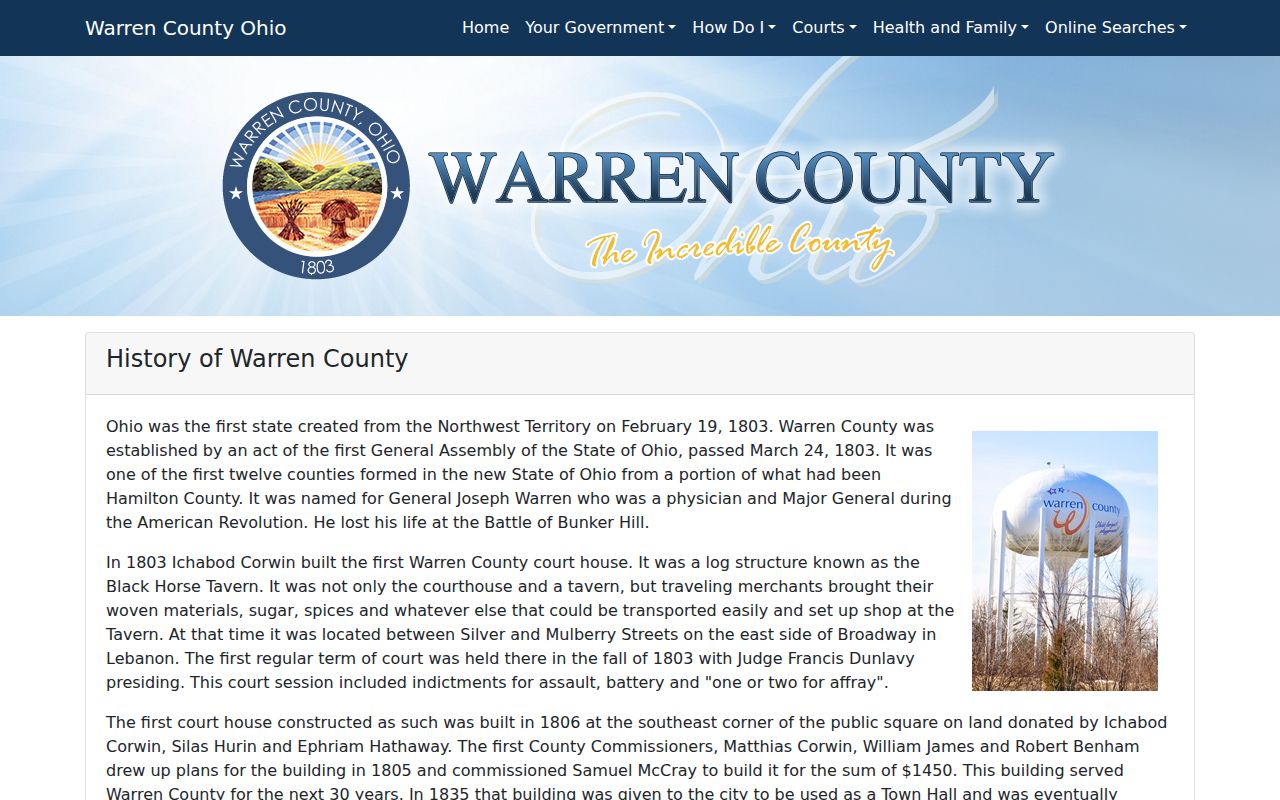
Its county-level perspective supports parcel verification before a local record request is sent to an office.
For an old land description, that care is even more important. Warren County includes the Virginia Military District, Symmes Purchase, and Congress Lands, so historic documents may use survey, range, section, or metes-and-bounds language rather than a current postal address.
Warren County ZIP Directory Address Conflicts
A disputed road name, suffix, unit designation, or possible renumbering needs a local source. No authoritative countywide street-addressing or renumbering manual was found during the research. USPS and the relevant municipal or township addressing or engineering office are the appropriate next contacts after the Auditor record has been checked. Do not replace an unmatched result with a nearby address or a likely postal-city match.
Historic searches need similar restraint. A Sanborn map, older directory, or newspaper may use a former street form or no number at all. The Records Center request route is stronger when it includes department, record type, township, party name, date, old wording, and a modern address if one is known. That gives an archivist enough information to identify a relevant volume or index.
Note: When sources differ, report each source and date instead of choosing the label that seems most convenient.
Warren County ZIP Directory Limits
The Warren County ZIP code directory is strongest as a postal verification and records-routing reference. It cannot establish current residence, title, delivery on a specific carrier route, municipal boundaries, or the governing court from the ZIP alone. For property context, the Auditor and GIS results remain separate from the USPS delivery answer. For document history, the Recorder’s AVA land-record search follows a confirmed parcel number.
Use these records for family-history location work, civic questions, a property trail, or a careful address check. Avoid combining public fields into a profile of individuals, and never use a postal or parcel result to harass another person. An address record states the relationship the custodian recorded at a given time, not every fact about a household.