
Warren County Neighbor Records
A useful block search separates land facts from people claims. Public records about Warren County neighbors must stay tied to their actual source and date. The Warren County Auditor property search can connect a street number and street name to a parcel, situs address, legal description, assessed owner label, map link, township, and municipality. The Recorder can then supply the recorded-document trail, while the Board of Elections and historical repositories serve much narrower purposes. Start with one known address. Preserve the parcel number and the date shown by each source instead of combining different fields into a claim about a household.
| Record channel | Public detail near one parcel | Access route and limit |
|---|---|---|
| Warren County GIS parcel layer | Parcel outlines, adjoining parcel references, township, municipality, and separate mailing fields. | Public map/data context, not a survey or an occupancy record. |
| Warren County Auditor record | Situs, parcel number, legal description, assessed owner label, values, and map connection. | Free public search; owner and mailing fields do not establish occupancy. |
| Warren County Recorder AVA | Recorded deeds, releases, mortgages, plats, parties, and instrument references. | Index reaches back to 1797; image availability can differ from an index hit. |
| Warren County Board of Elections | A limited registration check or a permitted administrative report. | Public-record exclusions and report conditions apply; it is not a block roster. |
| Warren County Records Center sources | Dated maps, township context, newspapers, and archival record leads. | Counter, request, or research-room rules may apply; historic material is not current presence. |
Warren County maintains about 91,400 parcels, making the Warren County parcel number a better starting point than a broad name search. For Warren County block research, the record chain can show a land relationship and its date. It cannot turn an assessed owner, an out-of-county mailing address, or a nearby parcel into a current resident claim.
Warren County Parcel Records
Read each label on its own terms. A situs address is the location assigned to the parcel. A mailing address is the contact destination kept by the record system. The owner label identifies the party carried in the assessment record. A parcel number is the county land identifier. The Warren County GIS schema even keeps mailing-address and MAIL_ZIP attributes apart from the parcel’s township and municipality. That separation is a practical safeguard when examining adjacent lots.
The published Warren County parcel GIS layer illustrates those distinct fields. Its display is useful for orienting a block and checking the parcels that appear to meet a shared edge. The live viewer controls were not captured in the research, so no identify, buffer, measure, export, or radius feature should be assumed. Use the Warren County official map for orientation and compare each separate parcel record before recording a conclusion.
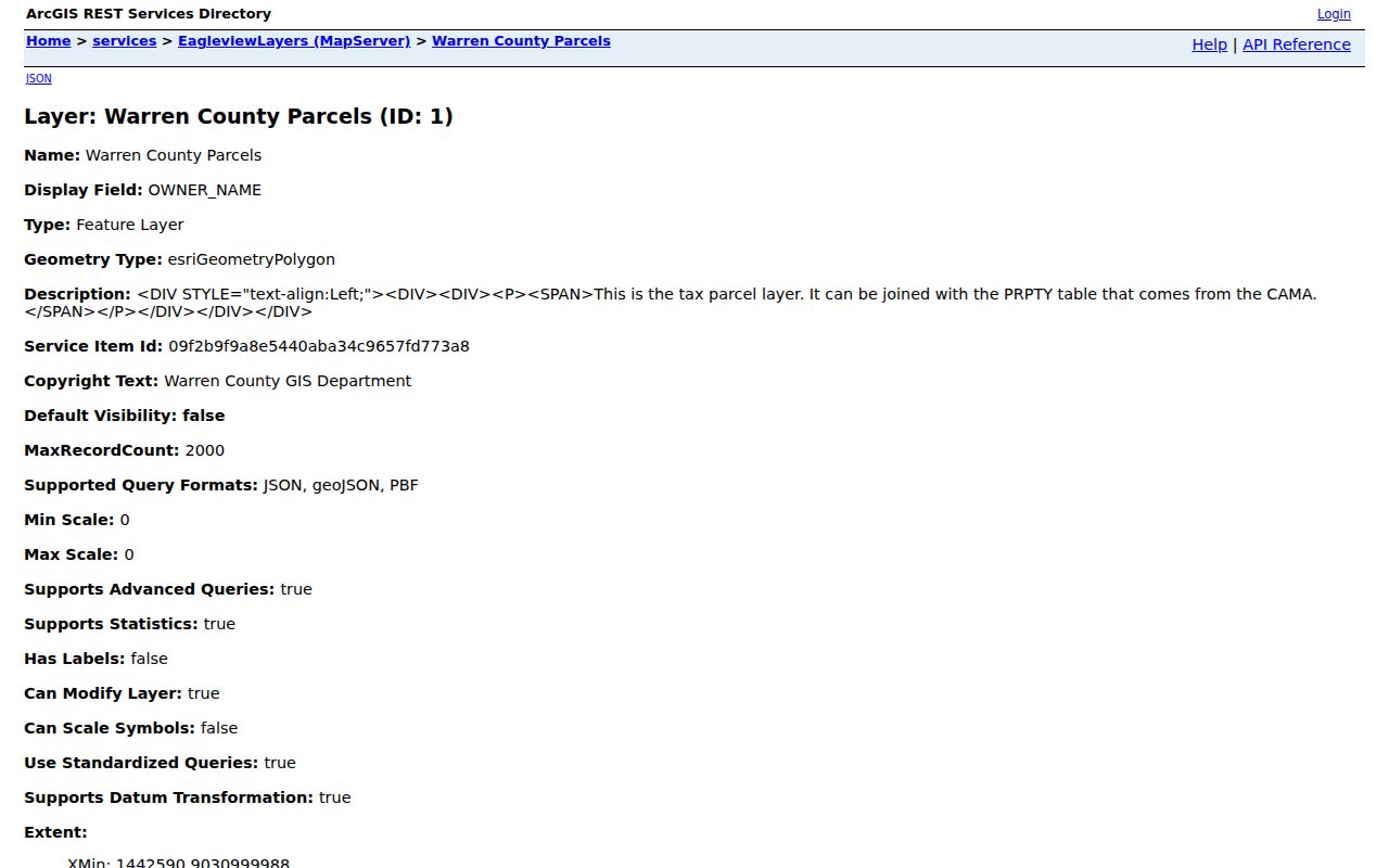
The image is a reminder to keep geography and mailing data separate. A colored boundary can help locate a parcel, but it cannot certify a lot line or show who occupies a property.
Note: Keep directional prefixes, unit details, road suffixes, and the source’s data date exactly as returned when comparing Warren County parcel records.
Map Warren County Neighbors
For the immediate Warren County block, use a shared-boundary workflow. It is deliberately small: one target parcel and one adjoining parcel at a time. The map offers spatial context, then the Auditor and Recorder add independently dated records. This avoids treating a parcel map as a people list and helps protect neighbors from speculation. It also makes it easier to notice a right-of-way, parcel split, condominium unit, or different street alignment.
- Search the target Warren County street address in the Auditor system and confirm the returned situs, parcel number, legal description, municipality, and township.
- Open the public parcel map and visually identify a parcel that appears to share a boundary. Record that neighboring parcel’s distinct identifier rather than copying a visible mailing field.
- Open a separate Auditor record for that identifier. Compare the property location, legal description, owner label, map link, and data date as separate assessment facts.
- When land-document context is needed, use the parcel number in AVA and compare the instrument date, parties, and legal description. For an entire named street, use the fuller Warren County street directory workflow.
For Warren County court or local-government questions that arise after the parcel is located, first resolve the right jurisdiction. The Warren County court jurisdiction guide is one county route that distinguishes court coverage by place. Postal and municipal labels can cross boundaries, so a nearby place name alone is not enough to select a public office.
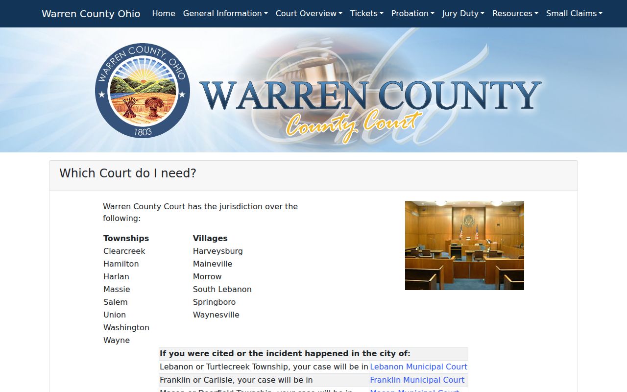
Use a jurisdiction guide only for routing a local matter. It does not add a person, household, or property conclusion to the parcel record.
Warren County Plat Records
A Warren County shared edge on a public map is an initial clue, not a legal boundary answer. The Warren County Recorder keeps land records, says deeds are indexed online through 1797, and directs land researchers to AVA. Its guidance recommends the 10-digit parcel number as the bridge from an Auditor address result to the Warren County land-record system. Most document images are reported online from April 20, 2016, but a result in the index and an available image are different things.
Look for the recorded deed or plat reference before assigning subdivision context. A plat is a recorded drawing or plan that can describe lots, streets, and recorded subdivision references. A legal description is the wording that identifies land in a deed or related record. Older Warren County descriptions may use the Virginia Military District, Symmes Purchase, Congress Lands, survey, range, section, or metes-and-bounds language instead of a modern lot number. Neither a map screenshot nor a property card resolves easements, setbacks, or a boundary dispute.
The Warren County Recorder’s public home page is the source for the land-record interface shown here.
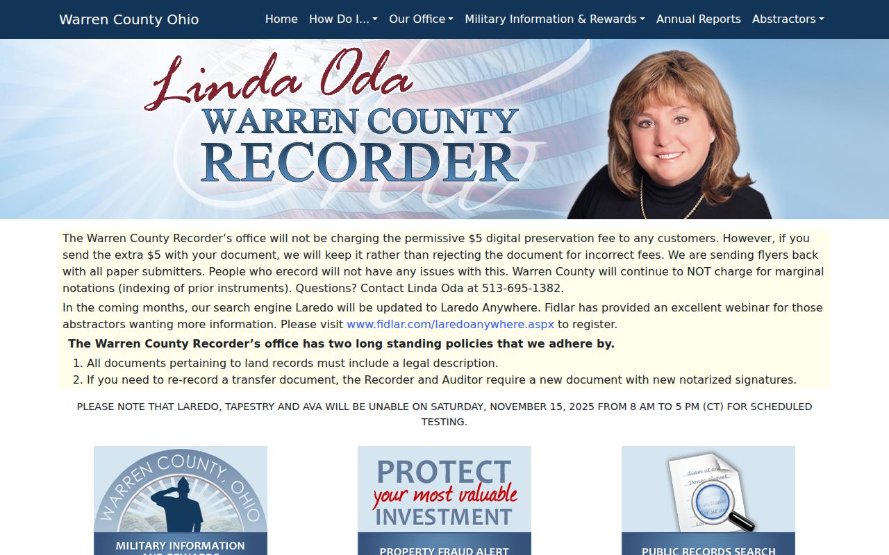
The next step is to compare the recorded wording, instrument date, and parcel identity. Seek a recorded copy or qualified survey advice for a question that depends on a precise boundary.
Warren County Neighbor Limits
Assessed owner, property situs, tax mailing address, and occupant are separate facts. An estate, trust, business, several owners, or a mailing entity may appear on a property record. A homestead or owner-occupancy field is an administrative tax field, not proof that a person is currently present. A parcel’s mailing address can also be outside Warren County. Nearby neighbors are not established by two touching parcels or two names that look similar. Do not infer family ties, private contact details, or a household relationship.
| Warren County official parcel path | Commercial neighbor tool category |
|---|---|
| Shows a dated source, a custodian, and a defined field such as situs, parcel, deed party, or public map reference. | May combine sources with unclear dates, coverage, corrections, or field meanings. |
| Allows the underlying Auditor, Recorder, GIS, or Board limitation to be checked directly. | Can be useful only as an unverified lead, never as proof of occupancy, identity, or a household relationship. |
| Supports a narrow land or civic question when each field stays attached to its source. | Should not be used to build a profile of nearby people or to collect contact details. |
That comparison keeps the inquiry proportionate. If the goal changes from an adjacent parcel to a historic address trail, use a dated map, document, or archive source rather than expanding the search around the block.
Warren County Voter Lookup
The Warren County voter lookup requires a last name and permits a first name to refine a narrow registration check. For Warren County voters, it says data are updated daily and provides a Board contact when a voter cannot be found. Ohio law permits public access to defined registration information while excluding sensitive identifiers, phone and email data, confidential Safe at Home registrations, certain protected addresses, and other restricted material under R.C. 3503.13.
The Board’s report creator lists administrative report families such as walking lists, voters by district, voters by household, Street Range Reporting, and voting history. Those labels do not make the system a neighbor tool. A requester with a legitimate election-administration question should ask the Board for the permitted report scope, format, availability, and conditions. A registration result is date-specific and does not prove every person at an address, current physical presence, or how anyone voted.
Note: A public voter result may describe a defined registration record, but it must not be recast as a map of nearby households.
Warren County Community Records
No official countywide neighborhood-association directory was located in the research. That absence matters. Do not substitute a commercial neighborhood profile, a mailing list, or a recorded subdivision name for an active association. Such sources do not identify Warren County neighbors. Establish the parcel’s municipality and township through the Auditor and GIS records first. Then use the appropriate local government’s public contact route to ask whether it lists a voluntary community organization. A listed organization is still a community resource, not a resident record or membership roster.
| Verified route | What it can answer | What it cannot establish |
|---|---|---|
| Warren County municipality or township identified on the parcel | Which local government should receive a narrow community-contact inquiry. | An association name or member list unless that local government publishes one. |
| Recorder deed or recorded plat | A legal subdivision reference or a land-document clue. | A current association, dues status, contact person, or participation. |
| Records Center, WCGS, Klei, or Sanborn materials | A dated area name, map context, or historic public place. | Current organization status or a contemporary household list. |
The Springboro Chamber directory is an example of a voluntary local membership listing, not an official county neighborhood directory. A public-facing organization listing can provide a narrow contact lead only when it states that relationship itself.
The directory image should not be read as evidence that a person lives nearby or belongs to a neighborhood group. Recorded subdivision context and voluntary public listings serve different purposes.
Warren County Historic Records
For a past Warren County block, collect a small dated chronology instead of an old resident roll: the road name as printed, map or directory year, a public place or business clue, the parcel or legal-description link if established, and the source citation. The Warren County Records Center holds county materials beginning as early as 1803 and asks researchers to identify the department, record type, township, party, and date. Its archive and reading-room route can be more useful than an undifferentiated request about a name.
The Warren County Genealogical Society and local history holdings can help route a dated search. For built context, the local Sanborn map guide identifies editions for Franklin, Lebanon, Mason, Morrow, and Waynesville. A map can show a building footprint, street layout, or public use in its map year. It does not identify a current owner or present household.
Warren County’s historic land systems add another reason to preserve original wording. A nineteenth-century land description and a modern subdivision parcel may require a plat, deed, map, or Records Center link before they can be connected.
Warren County Neighbor Privacy
Ohio’s Public Records Act provides access to existing Warren County public records subject to exemptions and redactions. It does not create a right to erase an accurate parcel, deed, or archival record. A privacy-conscious lookup avoids turning neighbors into a profile. Ask the custodian what field is protected, which law applies, whether a redacted copy is available, and what review route exists. For qualifying people facing safety risks, Ohio’s Safe at Home program offers an address-confidentiality process, but it is not immediate removal from every older source.
Lawful use. Use Warren County public records for a narrow personal, civic, property, or historical question. Do not use them to watch, harass, threaten, impersonate, or endanger another person. Ohio’s menacing-by-stalking law can apply even where an item began in a public record.
Qualified public-service workers may have a custodian-specific residential-information redaction path through the Ohio Attorney General’s redaction request forms. The right first step is the custodian that holds the field, not a promise that one request changes every copied record.
Warren County Filing Alerts
Warren County property questions can also expose misleading record-related solicitations. The Recorder offers a free Property Fraud Alert for recorded-document notifications. It is useful for noticing a filing associated with a property, but it is not title insurance, a boundary determination, or proof that every filing is improper. Preserve the document number and date, then verify a suspicious instrument with the Recorder and an appropriate legal or title professional when needed.
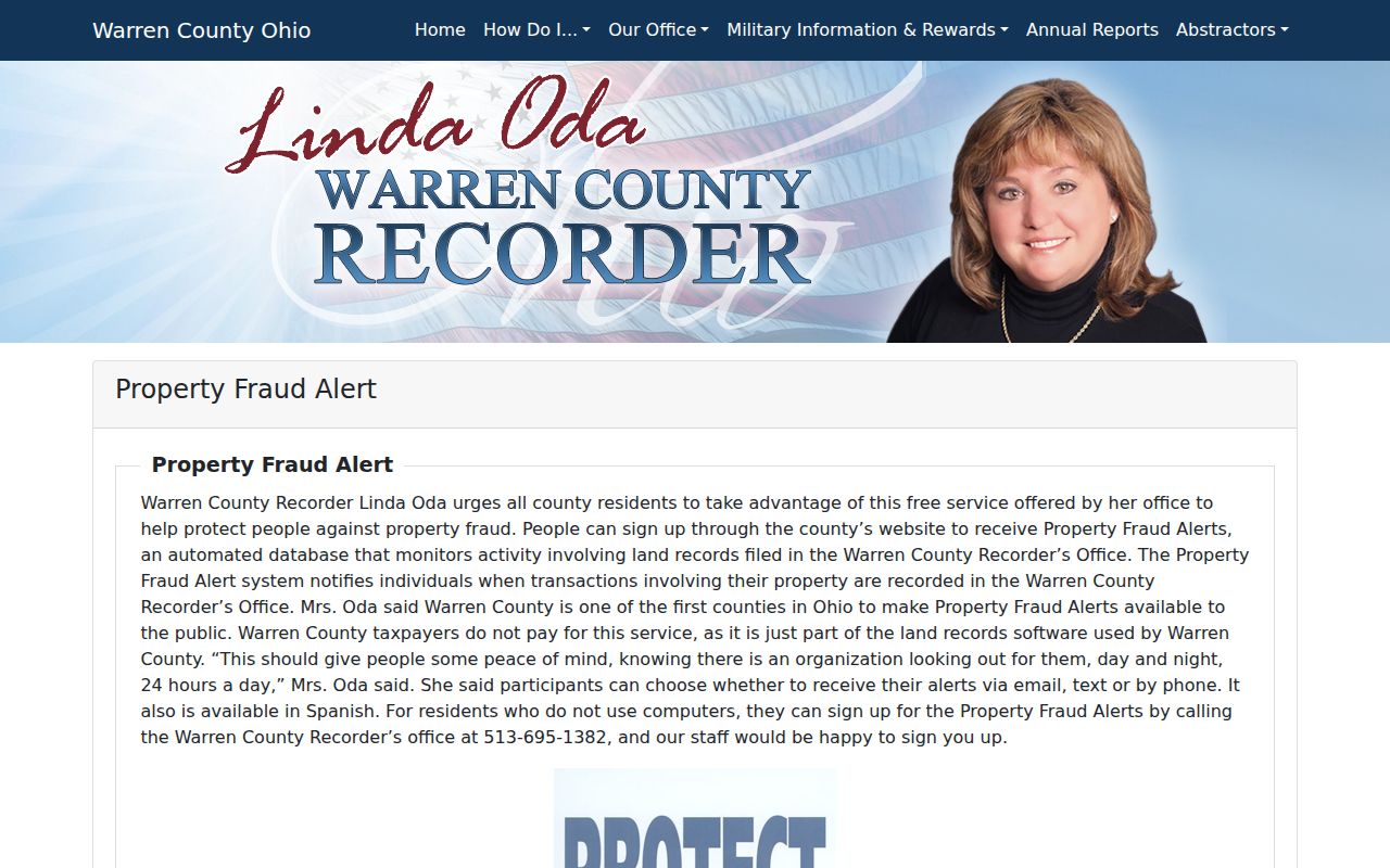
The alert shown here supports a limited records-safety step. It does not authorize collecting information about other parcels or turning a block question into monitoring of people.
Note: Retain the source, date, parcel, and instrument reference for a disputed filing, then ask the Recorder about the appropriate verification route.