
Follow a Warren County Street by Address
The useful street directory chain is address to parcel, parcel to recorded document, and then dated historical context when needed. Start at the Auditor with the street number and street name. Confirm that the result's situs field matches the intended place. Record the parcel number, legal description, municipality, township, and data date. The Recorder specifically recommends the 10-digit parcel number as the bridge to AVA land records. That sequence keeps an address question tied to a documented parcel rather than a broad street-name guess.
The address can have several meanings. The Auditor's situs address identifies the parcel location. A tax mailing field identifies a contact channel used by the record system. A postal city and ZIP guide delivery. Township and municipality identify different government geography. None is interchangeable with proof of current occupancy. The Warren County street directory is most reliable when each field stays in its own column.
- Search the Auditor address route with street number and street name.
- Confirm the situs, legal description, parcel number, municipality, township, and processing date on the returned property record.
- Use that parcel number in the Recorder's AVA instructions route to locate an instrument or date trail.
- Open the county GIS view for spatial orientation, then compare any adjoining parcel in its own Auditor record.
- For an older address, compare a dated directory, Western Star notice, Sanborn map, or Records Center source rather than converting an old label by guesswork.
Search the Warren County Street Directory at the Auditor
The Auditor Property Search is the county's documented starting point for a street directory question. It supports Name, Address, Parcel ID, Account Number, Subdivision or Lot, and Advanced Search routes. In address mode, Street Name is required and Street Number can refine the result. Advanced Search also offers Street Name, ZIP Code, municipality, township, neighborhood ID, subdivision, sale date, school district, and property-value criteria. Those fields help narrow an assessment search. They do not convert assessment data into a record of every person at an address.
After a hit, read the parcel card as an assessment snapshot. A condominium, multi-parcel address, or similarly named street needs the legal description and map link before it can be resolved. Keep unit identifiers, directional prefixes, and road suffixes exactly as the county system returns them. If there is no parcel match, contact the Auditor or use the official map route instead of substituting a nearby address.
| Warren County field | Format | Purpose in an address search |
|---|---|---|
| Street Number | Optional text | Refines an address query. |
| Street Name | Required in address mode | Finds a situs-address candidate. |
| Parcel Number | Exact text route | Retrieves a known county parcel. |
| Subdivision or Lot | Separate text route | Locates platted land when the address is uncertain. |
| Advanced Street Name or ZIP Code | Criteria selection and text | Narrows a property question, not a household result. |
Open the Auditor Advanced Search to see the county's documented address and geographic criteria.
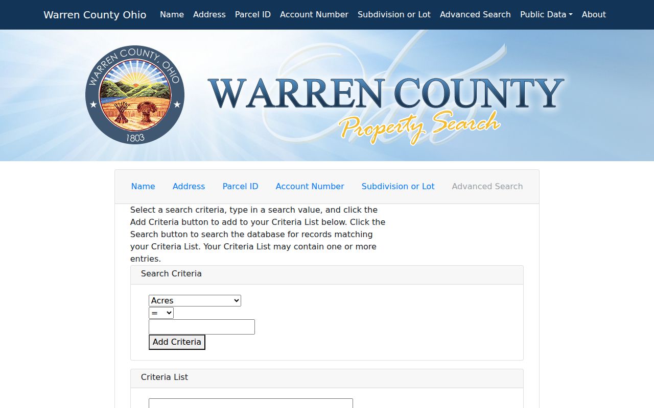
The advanced screen shows why a street, ZIP, sale, and geography filter should be described as property criteria rather than a resident list.
Warren County Street Addresses Need Field Labels
County sources use different address fields for different purposes. The published GIS parcel schema includes mailing-address and MAIL_ZIP fields alongside parcel geography. A tax mailing ZIP can therefore differ from the property situs, and a postal city can differ from the municipality or township. A street directory entry should identify the source field rather than relabel a mailing address as a residence.
- Parcel
- The county's assessment identifier for a tract, lot, or property.
- Situs address
- The property location assigned to the parcel record.
- Plat
- A recorded map or plan used to document lots, streets, or subdivisions.
- Legal description
- The recorded land wording that distinguishes a tract from a casual street label.
Historic field labels require the same care. An older tax record may name only a township or range. A printed directory can use a street without a number. A Sanborn sheet can show a building footprint without identifying a household. Preserve what the source actually says and state any remaining uncertainty.
Warren County Street Records by Source
Address-keyed records each answer a different question. The Auditor establishes an assessment and parcel context. Recorder AVA follows the recorded land trail. GIS provides spatial orientation and jurisdiction fields. Building and Zoning has a county permit route for its covered areas. The Board's report creator identifies street-range reporting among its report families, but statutory exclusions and permitted-use limits still apply. Combining these sources works only when their dates, fields, and custodians are visible.
| Address record | County custodian or route | What it can show | Key limit |
|---|---|---|---|
| Property Search | Auditor | Parcel, situs, assessed owner, legal description | Owner is not automatically an occupant. |
| AVA land record | Recorder | Recorded parties, instrument dates, document trail | An instrument records a transaction, not presence. |
| GIS map and data | County GIS | Parcel outline, township, municipality, published layers | Not a survey or boundary determination. |
| Permit Search | Building and Zoning | Street-name or permit-number activity in covered areas | Coverage depends on jurisdiction. |
| Historic collection | Records Center, WCGS, Klei | Dated map, directory, newspaper, or county record lead | Needs source-by-source verification. |
The Recorder says deeds are indexed online through 1797 and says most document images were online as of April 20, 2016. Those are not equivalent promises. If an image or a dynamic AVA field is unavailable, use the Recorder counter or the Records Center as the fallback, not a substitute summary.
Note: Keep the Auditor data date and Recorder instrument date together when comparing records from the same address.
Map a Warren County Street Without Calling It a Survey
The county GIS services page routes users to online mapping and geographic data. Its published parcel layer includes township and municipality names, plus separate mailing attributes. Use the map to orient a parcel, compare road alignment, and locate an adjoining parcel reference. The research did not capture a reliable text inventory for live map controls, so it would be inaccurate to promise a radius, buffer, measurement, or selection tool. Use the viewer as displayed or contact GIS for available data.
For a shared-boundary question, identify the target parcel first, then visually locate a parcel that touches it. Retrieve that distinct parcel number and inspect its own Auditor page and Recorder trail. A map display is not survey certification. Easements, boundaries, and setbacks need the recorded plat or deed, and sometimes a qualified survey professional.
See the County GIS services route for its map and data access information.
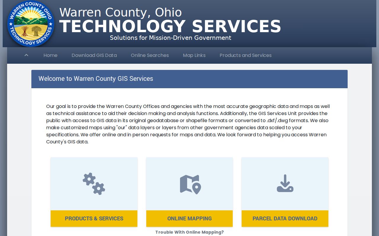
GIS adds spatial context to a parcel record, while the recorder document supplies the legal wording needed for a land-record conclusion.
Follow Warren County Deeds Along a Street
AVA is a document-centered system. Once an address becomes a confirmed parcel number, retrieve the newest conveyance that matches the legal description. Record the grantor, grantee, instrument or recording reference, deed date, and any prior-reference recital. Use that earlier reference or party name to move backward one transaction at a time. A subdivision plat, estate, sheriff's deed, merger, or parcel split can change the path, so compare acreage, lot or block, subdivision name, and legal description rather than assuming the current parcel always existed in the same form.
Older Warren County legal descriptions can reflect the Virginia Military District, Symmes Purchase, or Congress Lands. A range, survey, tract, or metes-and-bounds description is not an error just because it differs from a modern lot. Use the deed, plat, and archive maps together. The recorded-owner trail can support a property history, but it cannot establish every person who lived along the street.
The Warren County Records Center index guide is the official source shown for historic index searching and spelling checks.
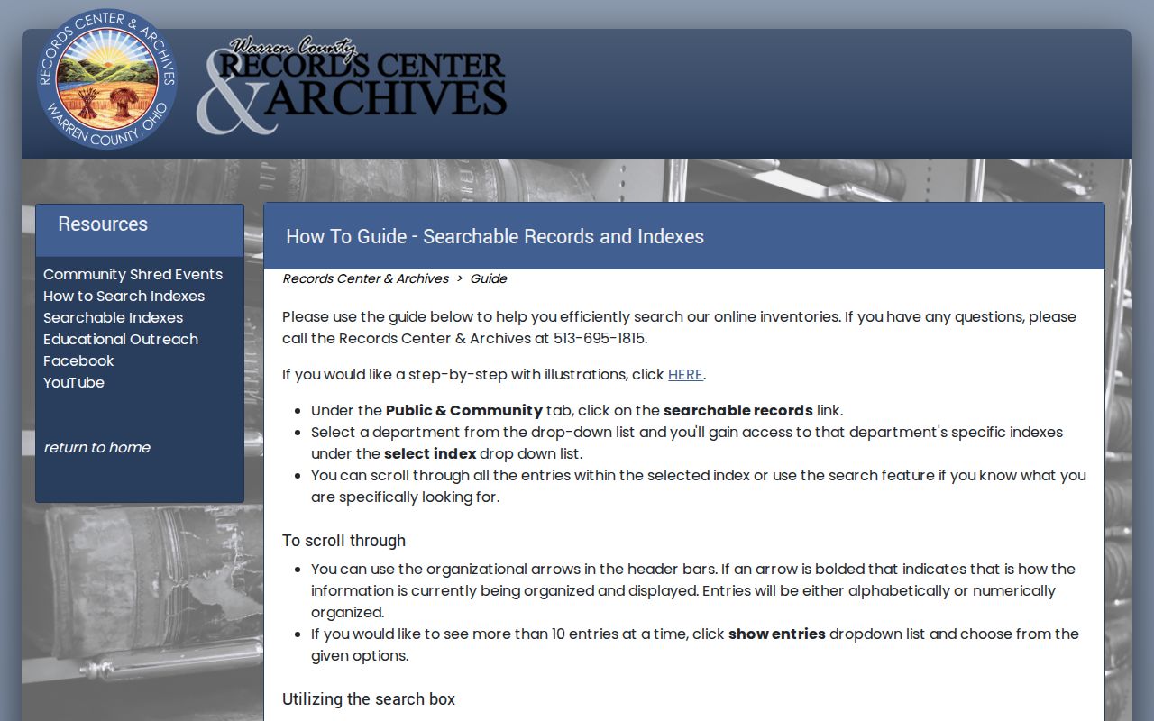
The Records Center index is a useful historic fallback when the parcel trail reaches a record series or era outside the live property portals.
Read Old Warren County Street Labels by Date
A current street directory cannot safely translate an old address without documentation. For historic context, compare a city-directory clue or local phone-book reference with a Western Star notice, Sanborn map, and Records Center request. The research identifies Sanborn coverage for Franklin, Lebanon, Mason, Morrow, and Waynesville, including Lebanon editions beginning in 1885 and extending through a 1923-1941 volume. The Ohio Web Library's Lebanon 1890 viewer is a useful dated example.
No authoritative countywide street-renumbering index was located. When an old number fails to align with a modern parcel, ask the Records Center, a local historical society, or the relevant municipal engineering office for a dated map or numbering record. Do not select a modern match based only on a similar road name. For historical directory collections, use the Warren County city directory route once the street and era are known.
Open the Warren County historic map guide for the documented Sanborn and local map coverage.
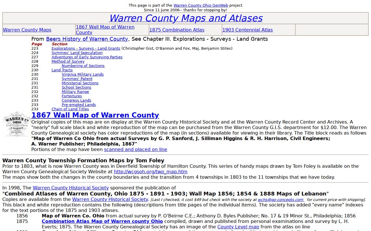
A historic map can clarify a dated street setting, but its labels do not establish current ownership, boundaries, or a household.
Check Warren County Permit Jurisdiction First
County Building and Zoning offers a Permit Search with Street Name and Permit No. modes. It is useful for activity at an address in county-served areas, but it is not a countywide property or resident directory. County zoning applies to Franklin, Harlan, Turtlecreek, Union, and Washington Townships. Cities, villages, and other townships use their own offices. Route the permit inquiry by the parcel's municipality and township before drawing a conclusion from a missing search result.
A permit can date a project or point to the office that holds the file. It does not prove that a named party performed work, owned the parcel at every point, or lived there. For a street-level record request, preserve the permit number, property address, jurisdiction, and date range. That gives the proper office a concrete question.
Visit the County building permit search to choose the documented street-name or permit-number route.
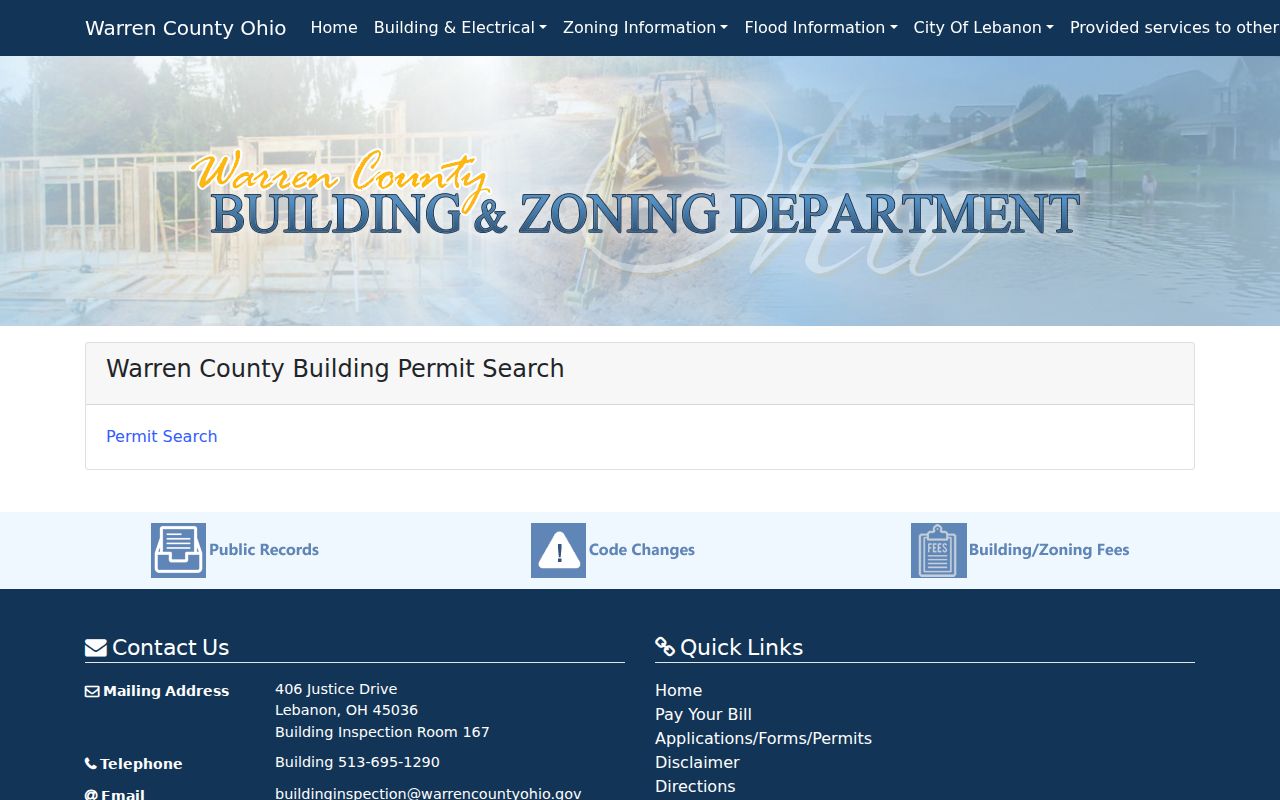
The permit portal is most useful after the parcel jurisdiction is known and the search is limited to the record it actually maintains.
Use ZIP in a Warren County Street Search Carefully
ZIP codes are USPS delivery-routing constructs, not parcel, court, tax, or municipal boundaries. The Auditor's advanced criteria include ZIP Code, but the county's GIS schema makes clear that a mailing ZIP can be different from property geography. Confirm a full delivery address with the USPS lookup, then confirm parcel situs, township, and municipality in the Auditor or GIS system. The County post-office list is a helpful coverage guide, not a decision about which office governs an address.
This distinction matters in a county with four cities, nine villages, and eleven townships, plus cross-boundary municipal context. A postal label can be convenient for mail and still route a permit, court, or property question to the wrong office. Keep delivery and government fields separate in a street directory note.
Warren County Street Directory Limits
A street directory can document parcels, recorded transactions, assessment fields, historic printed references, and narrow public office records. It cannot show every household member, utility account, private association membership, or current physical presence. The Board's street-range and household report labels do not override legal exclusions for protected identifiers, Safe at Home registrations, and other restricted data. A mailing address also must not be relabeled as a residence.
Ohio's Public Records Act provides a route to inspect existing nonexempt records, not a demand for the county to create a people list or disclose protected data. Ask the custodian for the releasable portion of a specific record, identify the parcel or address and date range, and retain any source limitation with the result.